20 Mar Rain Expected to Return Monday Night Through Tuesday

(Photo by Todd Diemer on Unsplash)
By Bay City News
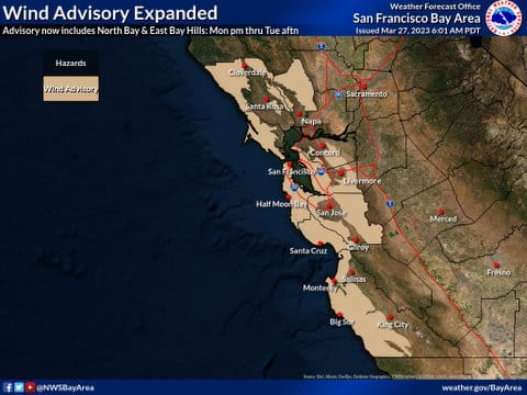
The National Weather Service said Sunday more “active” weather is on its way to the Bay Area starting late Monday and early Tuesday, with another round of rain and stronger winds.
The NWS said the Central Coast is an area of concern, but given antecedent conditions, nuisance flooding, mudslides, and downed trees are possible across the area.
Forecasters said to expect a half-inch and an inch of rain from Cloverdale in the North Bay all the way south to San Jose and 1.5 to 2.5 inches in the Santa Cruz Mountains and Big Sur, and up to 3.5 inches in the Santa Lucia Mountains. The heaviest rain is expected Tuesday morning into the afternoon.
Copyright © 2023 Bay City News, Inc. All rights reserved. Republication, rebroadcast or redistribution without the express written consent of Bay City News, Inc. is prohibited. Bay City News is a 24/7 news service covering the greater Bay Area.


No Comments